Photo AI
Last Updated Sep 27, 2025
Satellite Imagery Simplified Revision Notes for Leaving Cert Geography
Revision notes with simplified explanations to understand Satellite Imagery quickly and effectively.
448+ students studying
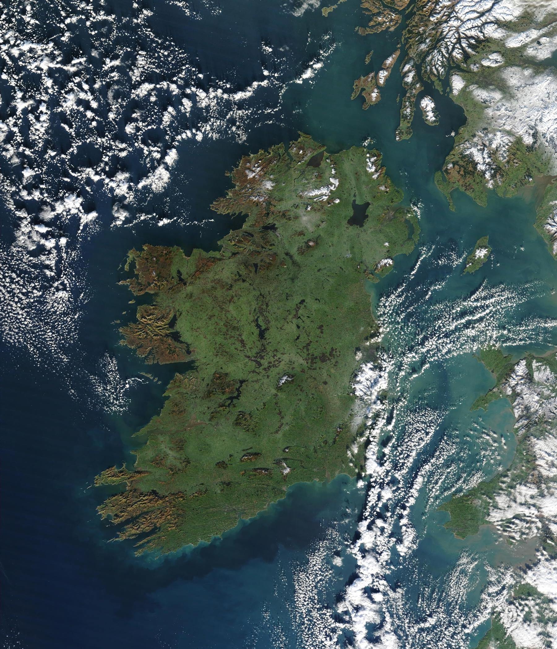
Satellite Imagery
Satellite imagery is a critical tool in geography for analysing weather patterns, environmental changes, and human activities. These images, captured by satellites orbiting Earth, provide a wide-scale and real-time view of physical and human geography.
Key Features of Satellite Imagery
Types of Satellite Imagery
Visible Imagery:
- Captures images similar to what the human eye sees.
- Best for observing cloud patterns during daylight.
Infrared Imagery:
- Detects heat radiated from the Earth's surface and clouds.
- Useful for identifying cloud heights and temperatures, even at night.
Water Vapor Imagery:
- Highlights moisture levels in the atmosphere.
- Useful for studying storm systems and tracking weather development.
Resolution and Scale
- High-Resolution Images: Show detailed features like cities and forests.
- Low-Resolution Images: Provide broad patterns, such as weather systems and ocean currents.
Key Indicators in Satellite Imagery
- Cloud Cover: Observe the extent, type, and density of clouds.
- Weather Systems: Identify features like hurricanes, cold fronts, or cyclones.
- Land Use and Environmental Changes: Track deforestation, urban sprawl, or flood events.
Applications of Satellite Imagery
Weather Analysis
- Track and predict weather systems, including storms, hurricanes, and cyclones.
- Monitor cloud movement to anticipate precipitation or temperature changes.
Environmental Monitoring
- Observe deforestation, desertification, and glacial retreat.
- Monitor large-scale disasters like wildfires, floods, and droughts.
Human Geography
- Assess urban growth and changes in land use.
- Study population impacts, such as urban sprawl or agricultural expansion.
How to Interpret Satellite Imagery
Observe Colors and Textures
- White/Gray Areas: Clouds or snow.
- Blue Areas: Water bodies like oceans, rivers, or lakes.
- Green Areas: Vegetation.
- Brown/Yellow Areas: Arid regions or deserts.
Identify Weather Systems
- Look for spirals (cyclones), clusters of clouds (thunderstorms), or clear zones (high-pressure systems).
Link Patterns to Geography
- Relate weather systems or environmental features to known geographical areas.
Benefits of Satellite Imagery
- Provides real-time and global data.
- Offers insights into inaccessible or remote areas.
- Enhances understanding of large-scale patterns and trends.
Tips for Success
- Familiarise yourself with the types of satellite imagery and their uses.
- Practice interpreting satellite images alongside weather maps for a complete analysis.
- Pay attention to the colour key or legend provided with imagery to interpret it correctly.

500K+ Students Use These Powerful Tools to Master Satellite Imagery For their Leaving Cert Exams.
Enhance your understanding with flashcards, quizzes, and exams—designed to help you grasp key concepts, reinforce learning, and master any topic with confidence!
99 flashcards
Flashcards on Satellite Imagery
Revise key concepts with interactive flashcards.
Try Geography Flashcards10 quizzes
Quizzes on Satellite Imagery
Test your knowledge with fun and engaging quizzes.
Try Geography Quizzes29 questions
Exam questions on Satellite Imagery
Boost your confidence with real exam questions.
Try Geography Questions27 exams created
Exam Builder on Satellite Imagery
Create custom exams across topics for better practice!
Try Geography exam builder47 papers
Past Papers on Satellite Imagery
Practice past papers to reinforce exam experience.
Try Geography Past PapersOther Revision Notes related to Satellite Imagery you should explore
Discover More Revision Notes Related to Satellite Imagery to Deepen Your Understanding and Improve Your Mastery