Orthophoto Maps (Grade 10 NSC Matric Geography): Revision Notes
Orthophoto Maps
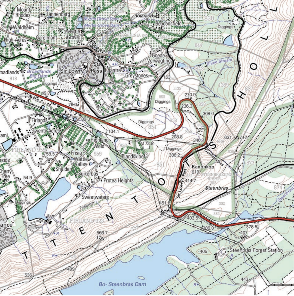
What are orthophoto maps?
An orthophoto map is essentially a hybrid between an aerial photograph and a traditional topographic map. Think of it as taking a bird's-eye view photograph of an area and then adding all the helpful details you'd find on a topographic map, such as contour lines, place names, and elevation markers.
The key to understanding orthophoto maps is recognising their dual nature - they combine the visual realism of aerial photography with the precise geographical data of traditional maps.
These maps are created by overlaying important geographical information onto vertical aerial photographs. This means you get the realistic visual appearance of the landscape (like you'd see in a photograph) combined with the precise measurements and details of a traditional map.
Key characteristics of orthophoto maps
All orthophoto maps share several important technical features:
- Scale: Always set to , which provides excellent detail for making accurate measurements and comparisons
- Contour line intervals: Consistently spaced at 5-metre intervals, allowing for precise elevation analysis
- Additional features: Include contour lines, trig stations, spot heights, place names, and road names superimposed on the aerial photograph base
Remember the "5-10 rule" for orthophoto maps: 5-metre contour intervals and 1:10,000 scale - these specifications are standardised across all orthophoto maps.
This standardisation makes orthophoto maps particularly useful for detailed geographical analysis and comparison work.
Advantages of orthophoto maps
Orthophoto maps offer several significant benefits over traditional topographic maps:
Enhanced detail and clarity
The larger scale () allows you to see much finer details than standard topographic maps. For example, you can identify individual houses in residential areas rather than just seeing grey blocks representing built-up areas. This level of detail is invaluable for urban planning, environmental studies, and detailed geographical analysis.
Cost-effective and current
These maps are cheaper to produce than traditional topographic maps and can be updated more easily and frequently. This means the information you're using is more likely to reflect current conditions on the ground, making them more reliable for contemporary geographical study.
Comparing map types
The difference between topographic and orthophoto maps becomes clear when you examine the same area represented in both formats.
A topographic map uses symbols, colours, and lines to represent different features of the landscape. It's highly standardised but can sometimes feel abstract.
In contrast, an orthophoto map shows you what the area actually looks like from above, while still providing all the measurement and elevation information you need. This visual realism makes it easier to understand the relationship between different geographical features and how human activities interact with the natural landscape.
Study tips for working with orthophoto maps
Effective Study Approach
When analysing orthophoto maps, focus on developing these essential skills that will help you excel in examinations and practical applications.
When analysing orthophoto maps, focus on these key skills:
- Feature identification: Practice recognising natural features (ridges, spurs, valleys) and human-made features (roads, dams, settlements) on the aerial photograph base
- Relief interpretation: Use the contour lines to understand the three-dimensional shape of the land, even though you're looking at a flat image
- Scale calculations: Remember the scale for accurate distance measurements
- Comparative analysis: Compare features between orthophoto and topographic maps of the same area to understand the strengths of each map type
Key Points to Remember:
- Orthophoto maps combine aerial photographs with topographic map details - giving you the best of both worlds
- Standard specifications are 1:10,000 scale with 5-metre contour intervals - memorise these key numbers
- They show more detail than traditional maps - individual buildings and features are visible
- They're cheaper and easier to update - making them more current and practical
- Practice identifying both natural and human-made features - this is essential for exam success