Formulating Enquiry Questions (OCR GCSE Geography B (Geography for Enquiring Minds)): Revision Notes
Formulating enquiry questions
Geographical fieldwork is built around investigating questions. When you carry out fieldwork, you're testing ideas and collecting data to answer specific geographical questions. This process is called an enquiry.
Understanding enquiries and hypotheses
An enquiry is a question you aim to investigate through fieldwork. You collect evidence to answer it. A hypothesis is similar but written as a statement rather than a question. Both can focus on either physical or human geography.
Key Difference: An enquiry is phrased as a question (e.g., "How does river velocity change downstream?"), while a hypothesis is a statement to be tested (e.g., "River velocity increases downstream"). Both serve the same purpose of guiding your investigation.
There are two main categories of geographical enquiry:
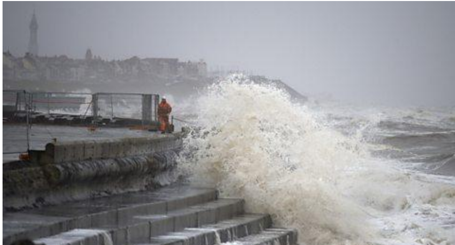
Physical enquiries investigate natural landscapes and processes such as rivers, coasts, weather patterns, or erosion.
Human enquiries examine environments shaped by people, including urban areas, settlements, transport networks, or tourist destinations.

What is an enquiry question?
An enquiry question is the main geographical question that guides your entire fieldwork investigation. It determines what you'll investigate, how you'll plan your fieldwork, what data you'll collect, and how you'll analyse your findings.
A well-constructed enquiry question ensures your fieldwork remains focused, can be measured with data, and is geographically relevant.
An enquiry question should:
- Focus on a specific geographical issue or process
- Be testable using data you can collect during fieldwork
- Help you decide on methods, data collection techniques, and analysis approaches
Example Enquiry Question:
How does the width of a river change downstream along the River Wye?
This question is clear, measurable, and directly linked to river processes. You can easily collect width measurements at different points along the river and compare the results.
Characteristics of a good enquiry question
When formulating your enquiry question, ensure it meets four essential criteria:
1. Focused
Your question must be specific and clearly defined. Vague questions make fieldwork difficult and results unclear.
Poor example: How does a river change?
This is too broad. Rivers change in many ways (width, depth, velocity, sediment size). You cannot measure everything.
Better example: How does river velocity change downstream?
This focuses on one measurable variable, making data collection straightforward.
2. Measurable
You must be able to collect quantitative data (numerical measurements) or qualitative data (descriptive observations) to answer your question.
Consider whether you can realistically measure what you're asking about. Examples of measurable data include:
- River depth (using a metre stick)
- Beach sediment size (using callipers or a ruler)
- Pedestrian counts (using tally charts)
- Land use types (using survey sheets)
If you cannot identify how to measure something, your question needs refining. Always ask yourself: "What equipment or method will I use to collect this data?"
3. Geographical
Your question must relate to physical or human geography processes. It should connect to geographical theory or concepts you've studied.
Examples of geographical focuses:
- River processes (erosion, transportation, deposition)
- Coastal erosion and management
- Urban land use patterns and change
- Settlement hierarchy and function
Avoid questions that don't link to geographical processes or theory.
4. Manageable
Your question should be realistic given the time, equipment, and location available for your fieldwork.
Consider practical constraints:
- Can you access suitable fieldwork locations safely?
- Do you have the necessary equipment?
- Can you collect sufficient data within the time available?
- Is the investigation achievable with your group size?
Questions requiring expensive equipment, dangerous locations, or extensive travel time are not manageable for GCSE fieldwork. Always consider the practical limitations of your situation when formulating your enquiry question.
Types of enquiry questions
Enquiry questions can be classified into three main types, each serving a different investigative purpose.
Descriptive questions
These questions aim to describe patterns, characteristics, or features of a geographical area or phenomenon.
Example: What types of land use are found in the city centre?
This requires you to observe and record different land uses (shops, offices, residential areas) but doesn't necessarily compare or explain them. You would create a survey sheet and systematically record the function of each building or area.
Comparative questions
These questions compare two or more locations, time periods, or variables to identify differences or similarities.
Example: How does beach sediment size vary between two coastal locations?
This requires collecting sediment data at two different sites and comparing the results to identify patterns. You might measure 50 pebbles at each location and compare the average sizes.
Relationship questions
These questions investigate connections or correlations between different variables or factors.
Example: Is there a relationship between distance from the city centre and environmental quality?
This examines whether environmental quality changes as distance from the city centre increases, testing if the two variables are linked. You would measure environmental quality at various distances and look for patterns.
Developing an enquiry question
Creating a strong enquiry question takes time and thought. Follow this four-step process to develop your question effectively:
Step 1: Identify a geographical issue
Start with a broad geographical topic or issue that interests you. This might come from your classroom learning or something you've noticed in your local area.
Examples: river flooding, coastal erosion, urban decay, traffic congestion.
Step 2: Observe the study area
Visit or research your potential fieldwork location. Look for patterns, differences, or interesting features that could form the basis of an investigation.
Example observation:
The beach near the cliffs has larger pebbles than the beach further along the coast.
Step 3: Consider what data can be collected
Think practically about what measurements or observations you can realistically gather. Consider available equipment and methods.
From the beach observation, you could measure sediment size using callipers or a ruler at multiple locations along the coastline.
Step 4: Refine the question so it is specific and testable
Combine your observations with practical considerations to create a focused, measurable enquiry question.
From Observation to Enquiry Question:
Initial observation: The beach near the cliffs has larger pebbles than the beach further along the coast.
Geographical theory: Longshore drift transports sediment along the coast. Larger, heavier material may be deposited differently to smaller sediment.
Practical considerations: You can measure sediment size using callipers at multiple points. The locations are accessible and safe.
Resulting enquiry question: How does sediment size change along this coastline?
This question is focused (sediment size), measurable (you can use callipers), geographical (links to coastal processes), and manageable (you can collect data within one fieldwork day).
Using sub-questions
Large enquiry questions are often supported by sub-questions. These break down the main investigation into smaller, more manageable components. Each sub-question can guide specific data collection activities.
Using Sub-Questions Effectively:
Main enquiry question:
How does river velocity change downstream?
Sub-questions:
- How does river width change downstream?
- How does river depth change downstream?
- How does channel shape change downstream?
Each sub-question helps you understand factors affecting river velocity. By investigating these supporting questions, you gather comprehensive data to answer your main enquiry question effectively. Sub-questions also help structure your data collection and ensure you don't miss important aspects of the investigation.
Why enquiry questions are important
A clear enquiry question is fundamental to successful geographical fieldwork. It provides structure and purpose throughout your investigation.
Formulating a strong enquiry question helps you to:
- Focus the purpose of the fieldwork – everyone understands what you're investigating and why
- Determine what data needs to be collected – you know exactly which measurements or observations are necessary
- Guide the methods used – your question influences whether you use quantitative or qualitative approaches
- Make analysis and conclusions clearer – you can directly refer back to your enquiry question when interpreting results
Without a clear enquiry question, fieldwork becomes unfocused and difficult to analyse. You may collect irrelevant data or struggle to draw meaningful conclusions. Always start with a well-formulated enquiry question before beginning any fieldwork.
Planning fieldwork
Once you've established your enquiry question, careful planning ensures you collect good quality data safely and efficiently.
Equipment and clothing
Your enquiry question determines what equipment you need. For example:
- A river investigation might require measuring tapes, metre sticks, stopwatches, and flow meters
- A study of river bedload needs equipment to measure stone size and shape (callipers, rulers, Powers roundness charts)
- Urban fieldwork might need clipboards, survey sheets, cameras, and environmental quality survey forms
The data you collect must directly answer your enquiry question. If you're investigating sediment size, measuring water temperature won't help answer your question. Always ensure your data collection methods align with your enquiry focus.
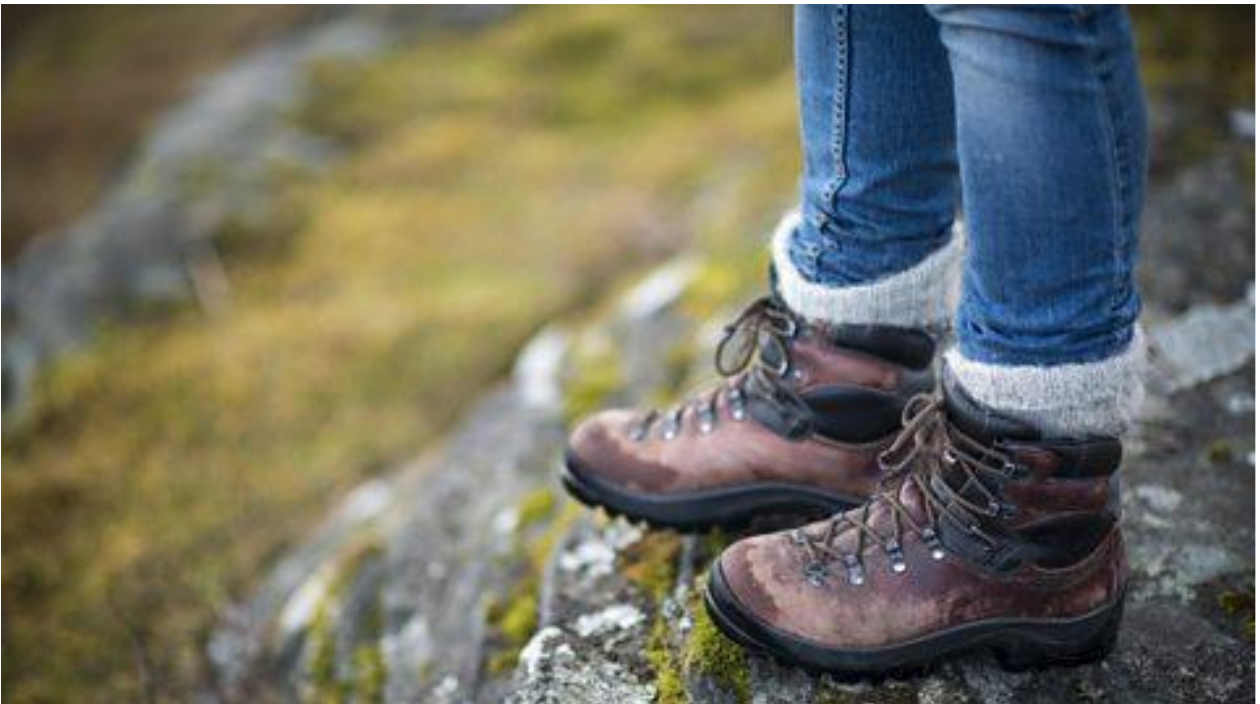
Consider appropriate clothing for your fieldwork location. Weather-appropriate clothing, sturdy footwear, and safety equipment (such as high-visibility jackets in urban areas) are essential.
Risk assessments
All fieldwork involves potential hazards. A risk assessment helps identify risks and plan how to avoid or minimise them.
Key Fieldwork Risks to Consider:
- Walking alongside fast-flowing streams or rivers
- Working on steep or slippery ground
- Carrying expensive equipment through areas with higher crime rates
- Exposure to extreme weather conditions
- Getting separated from your group
A thorough risk assessment also includes plans for what to do if problems arise. This might include emergency contact numbers, first aid procedures, or alternative routes if areas become inaccessible.
Key Points to Remember:
-
An enquiry question is a clear geographical question that guides your entire fieldwork investigation and can be answered through data collection.
-
Good enquiry questions are focused (specific), measurable (you can collect data), geographical (linked to physical or human geography processes), and manageable (realistic within constraints).
-
There are three types of enquiry questions: descriptive (describing patterns), comparative (comparing locations or variables), and relationship (investigating links between factors).
-
Develop enquiry questions by identifying a geographical issue, observing the study area, considering collectible data, and refining your question to be specific and testable.
-
Sub-questions break down main enquiry questions into smaller, manageable parts that guide detailed data collection.
-
Careful planning of equipment, clothing, and risk assessments ensures safe, effective fieldwork that collects high-quality data to answer your enquiry question.