Types of Aerial Photography (Leaving Cert Geography): Revision Notes
📚 Revision Notes
Types of Aerial Photography
Vertical Aerial Photographs

What Are They?
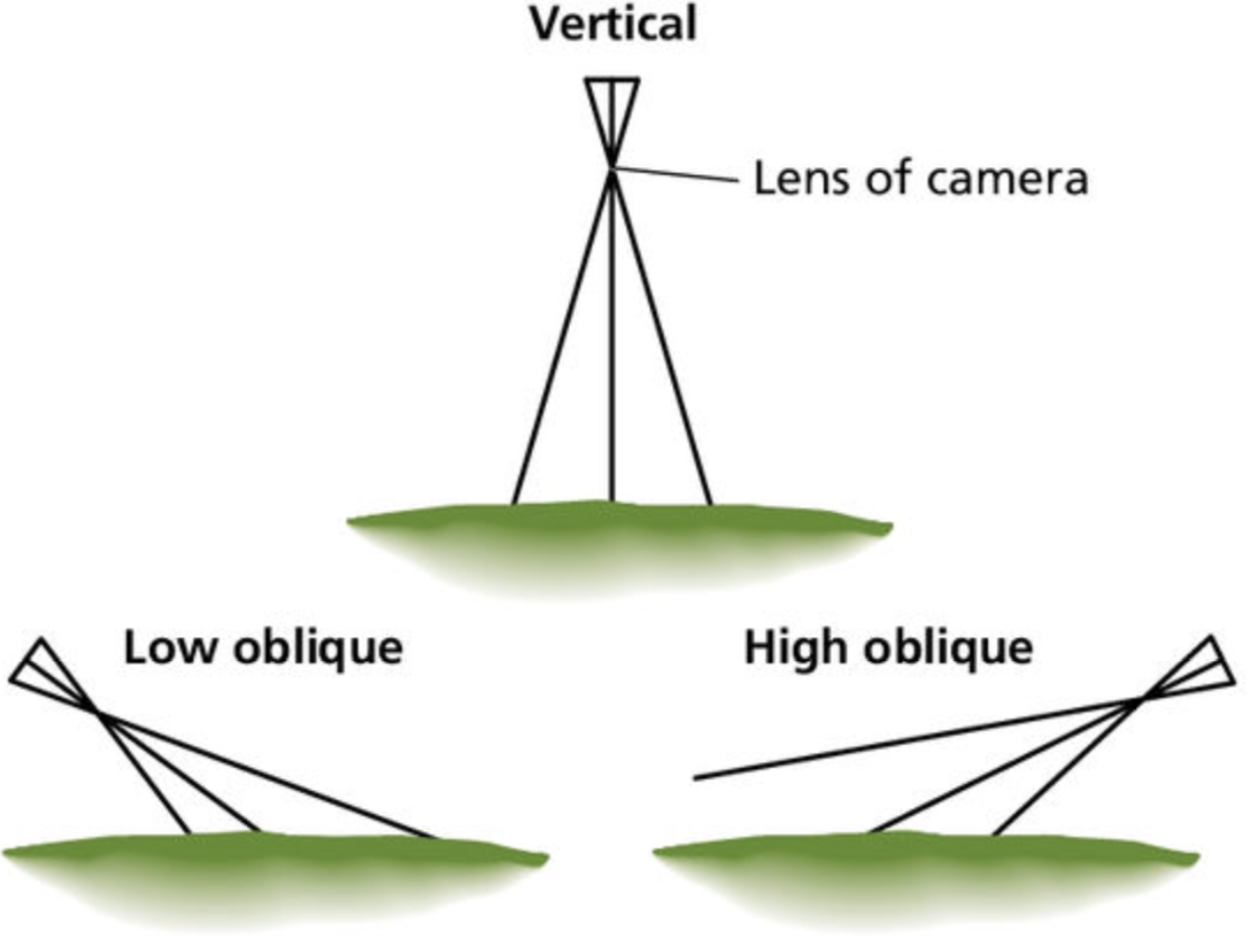
- Photographs taken from directly overhead, with the camera lens pointing straight down.
- The image is planimetric, meaning it resembles a map.
Key Characteristics
- Shows a top-down view of the area.
- Distances and directions are accurate in the centre but may distort at the edges.
Applications
- Used for creating maps and land-use analysis.
- Ideal for measuring distances, areas, and patterns of settlement or vegetation.
Oblique Aerial Photographs
What Are They?
- Photographs taken at an angle, capture more of the landscape in a single frame.
Types of Oblique Photographs:
- Low Oblique: The horizon is not visible.
- High Oblique: The horizon is visible, providing a broader perspective.
Key Characteristics
- Offers a three-dimensional view of the landscape.
- Useful for recognising landforms and the layout of settlements.
Applications
- Used for analysing topography, transport networks, and urban planning.
- Ideal for studying the relationship between physical and human features.

Satellite Imagery
What Is It?
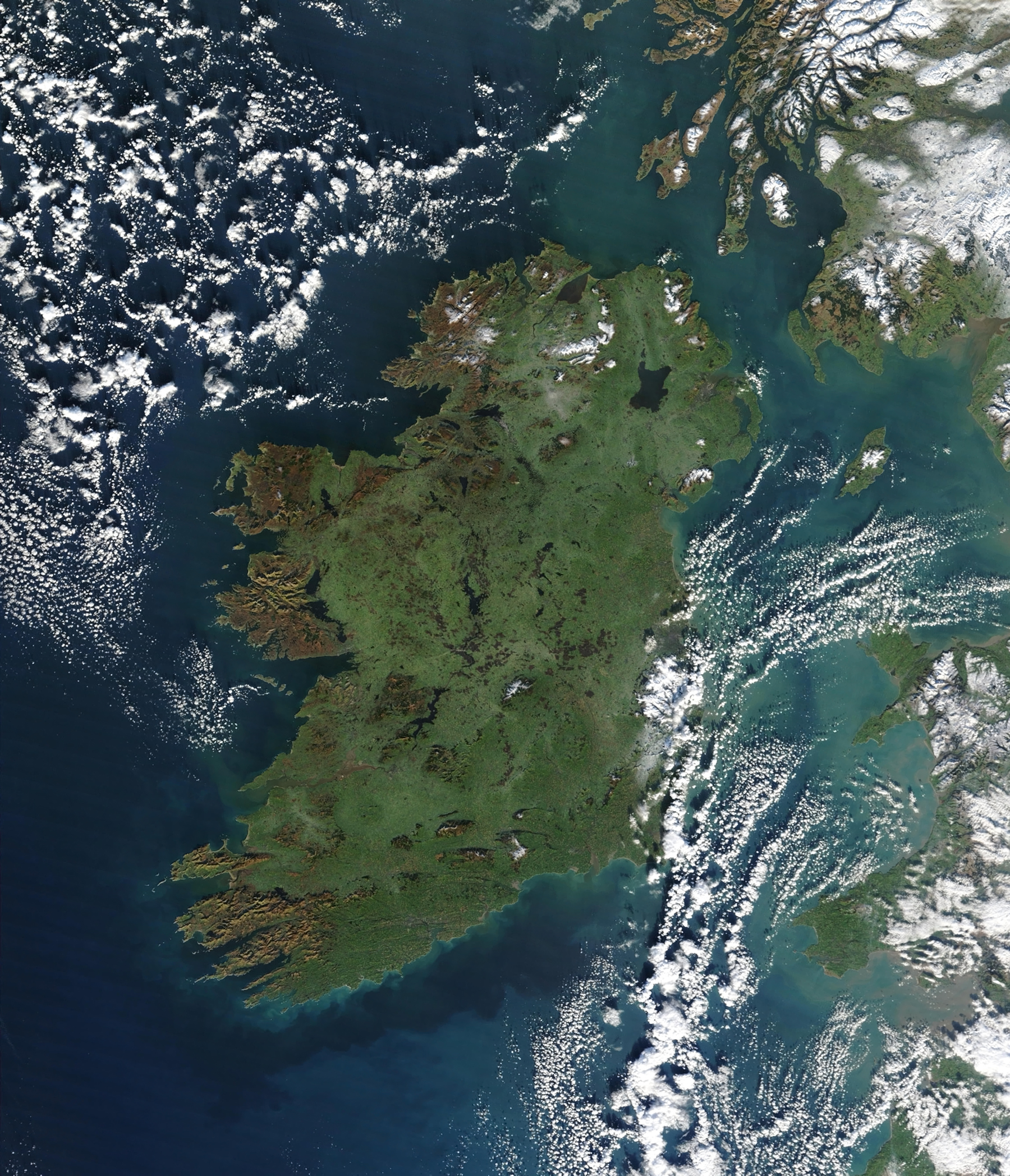
- High-altitude photographs taken by satellites are often used in conjunction with aerial photography.
- Provides a comprehensive view of large areas.
Key Characteristics
- Captures real-time data and wide-scale patterns.
- Used in conjunction with GIS (Geographical Information Systems).
Applications
- Monitoring climate change, urban sprawl, and deforestation.
- Useful for global studies and large-scale geographical investigations.
Comparison of Aerial Photography Types
| Feature | Vertical | Oblique | Satellite |
|---|---|---|---|
| Perspective | Top-down | Angled | Wide-scale |
| Horizon Visible | No | Sometimes (High Oblique) | No |
| Best For | Mapping, land use analysis | Topography, urban planning | Large-scale monitoring |
Tips for Success
- Learn to differentiate between vertical and oblique photographs by their perspective and horizon.
- Practice sketching features from aerial photographs to enhance spatial understanding.
- Pay attention to the scale and orientation for accurate interpretation.