Direction (Leaving Cert Geography): Revision Notes
📚 Revision Notes
Direction
Key Concepts in Direction
The Cardinal Points
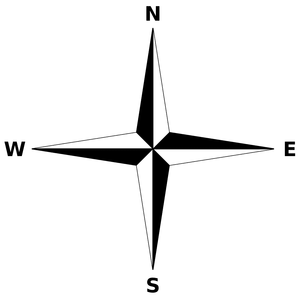
Four main cardinal points:
- North (N)
- East (E)
- South (S)
- West (W)
The Intercardinal (Intermediate) Points

These fall between the cardinal points:
- North-East (NE)
- South-East (SE)
- South-West (SW)
- North-West (NW)
Compass Bearings
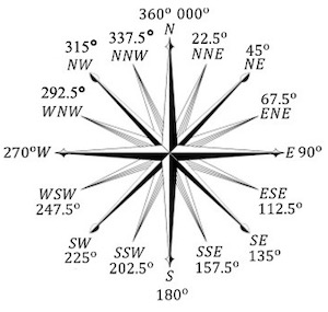
Bearings provide precise directional information:
-
Measured in degrees (°), starting at 0° (North) and moving clockwise around the compass. Examples:
-
90° = East
-
180° = South
-
270° = West
Using Direction on OS Maps
Identifying Directions Between Features:
- Place the compass rose (north arrow) on the map.
- Use the cardinal/intercardinal points to describe the direction of one feature relative to another.
Compass Bearings on Maps:
- Draw a straight line between two points (e.g., a town and a hill).
- Place a protractor at the starting point, aligning the 0° mark with the north.
- Measure the angle clockwise to the line connecting the two points.
Magnetic North vs. True North:
- True North: Points to the geographic North Pole.
- Magnetic North: Points to Earth's magnetic north (varies over time).
- OS maps include magnetic declination in the legend to account for this difference.
Applications of Direction in Geography
Navigating
- Direction is used to describe routes, such as:
- "The road runs northeast from the village to the forest."
Identifying Features
- Direction helps locate features about each other:
- "The school is west of the church."
Quick Reference Table
| Direction | Bearing (°) |
|---|---|
| North (N) | 0° / 360° |
| North-East (NE) | 45° |
| East (E) | 90° |
| South-East (SE) | 135° |
| South (S) | 180° |
| South-West (SW) | 225° |
| West (W) | 270° |
| North-West (NW) | 315° |