Satellite Imagery (Leaving Cert Geography): Revision Notes
📚 Revision Notes
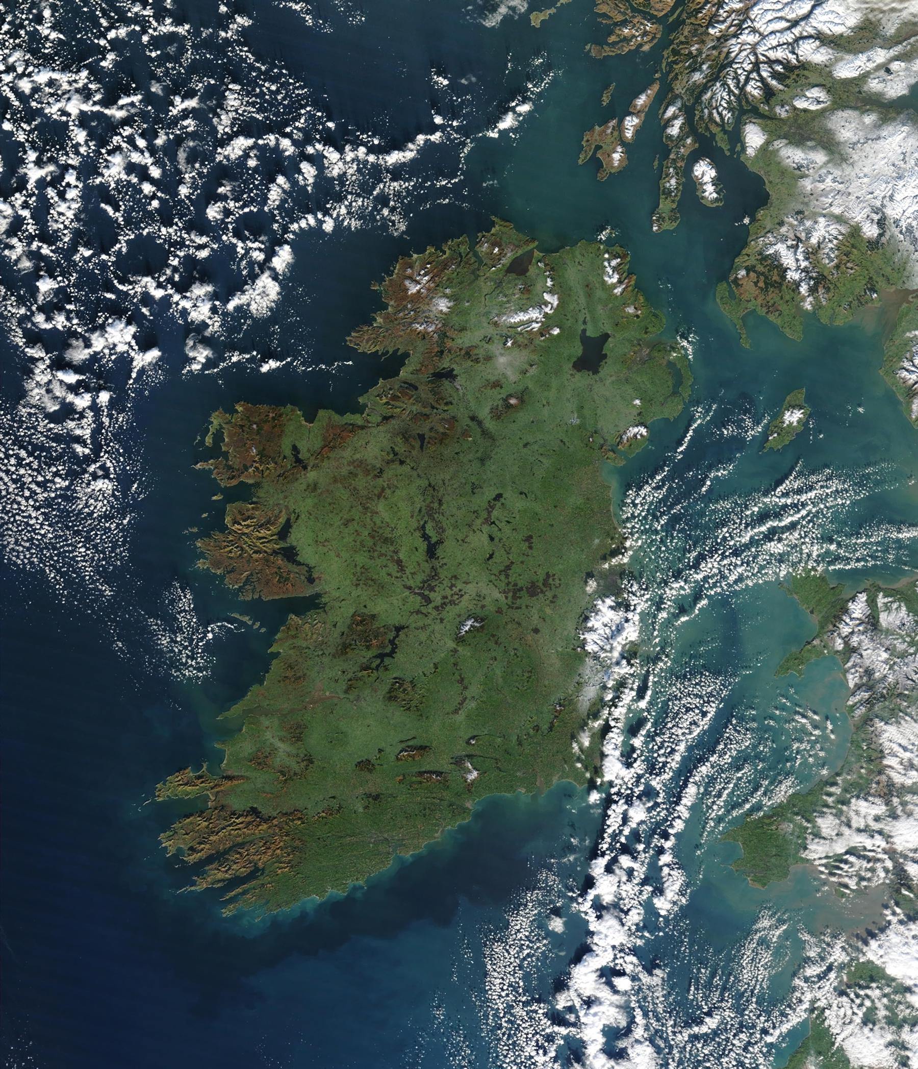
Satellite Imagery
Satellite imagery is a critical tool in geography for analysing weather patterns, environmental changes, and human activities. These images, captured by satellites orbiting Earth, provide a wide-scale and real-time view of physical and human geography.
Key Features of Satellite Imagery
Types of Satellite Imagery
Visible Imagery:
- Captures images similar to what the human eye sees.
- Best for observing cloud patterns during daylight.
Infrared Imagery:
- Detects heat radiated from the Earth's surface and clouds.
- Useful for identifying cloud heights and temperatures, even at night.
Water Vapour Imagery:
- Highlights moisture levels in the atmosphere.
- Useful for studying storm systems and tracking weather development.
Resolution and Scale
- High-Resolution Images: Show detailed features like cities and forests.
- Low-Resolution Images: Provide broad patterns, such as weather systems and ocean currents.
Key Indicators in Satellite Imagery
- Cloud Cover: Observe the extent, type, and density of clouds.
- Weather Systems: Identify features like hurricanes, cold fronts, or cyclones.
- Land Use and Environmental Changes: Track deforestation, urban sprawl, or flood events.
Applications of Satellite Imagery
Weather Analysis
- Track and predict weather systems, including storms, hurricanes, and cyclones.
- Monitor cloud movement to anticipate precipitation or temperature changes.
Environmental Monitoring
- Observe deforestation, desertification, and glacial retreat.
- Monitor large-scale disasters like wildfires, floods, and droughts.
Human Geography
- Assess urban growth and changes in land use.
- Study population impacts, such as urban sprawl or agricultural expansion.
How to Interpret Satellite Imagery
Observe Colours and Textures
- White/Grey Areas: Clouds or snow.
- Blue Areas: Water bodies like oceans, rivers, or lakes.
- Green Areas: Vegetation.
- Brown/Yellow Areas: Arid regions or deserts.
Identify Weather Systems
- Look for spirals (cyclones), clusters of clouds (thunderstorms), or clear zones (high-pressure systems).
Link Patterns to Geography
- Relate weather systems or environmental features to known geographical areas.
Benefits of Satellite Imagery
- Provides real-time and global data.
- Offers insights into inaccessible or remote areas.
- Enhances understanding of large-scale patterns and trends.
Tips for Success
- Familiarise yourself with the types of satellite imagery and their uses.
- Practice interpreting satellite images alongside weather maps for a complete analysis.
- Pay attention to the colour key or legend provided with imagery to interpret it correctly.