Conventional Signs and Symbols (Grade 10 NSC Matric Geography): Revision Notes
Conventional Signs and Symbols
What are conventional signs and symbols?
Conventional signs and symbols are standardised icons that map makers (called cartographers) use to represent different geographical features on topographic maps. These symbols help us understand and interpret what exists in the real world by providing a universal "language" that all map readers can understand.
A cartographer is a person who creates and draws maps, using these standardised symbols to ensure consistency across different maps.
Types of conventional signs and symbols
Conventional signs and symbols can be grouped into three main categories based on how they represent features on maps.
Understanding these three fundamental types of symbols is essential for effective map reading and interpretation.
Point symbols
These represent specific locations or small features that appear as single points on a map. Examples include:
- Spot heights (showing exact elevation at a specific point)
- Dipping tanks for livestock watering
- Individual buildings like lighthouses or communication towers
Line symbols
These show features that have length but appear as lines on the map scale. Examples include:
- Roads of different types (freeways, main roads, secondary roads)
- Railways and tracks
- Political boundaries between countries or provinces
- Rivers and streams
Area symbols
These represent features that cover a measurable area on the map. Examples include:
- Cultivated farmland
- Industrial parks and built-up areas
- Forests and woodland
- Lakes and reservoirs
Colour coding on topographic maps
Colour Coding System
Different colours help distinguish between types of features and are standardised across all topographic maps:
- Blue: Water features (rivers, lakes, dams, coastal areas)
- Green: Vegetation and natural areas (forests, grassland, parks)
- Brown: Relief features (contour lines, mountains, hills)
- Grey, red, black, or brown: Human-made features (roads, buildings, industrial areas)
Categories of conventional symbols
Transportation features
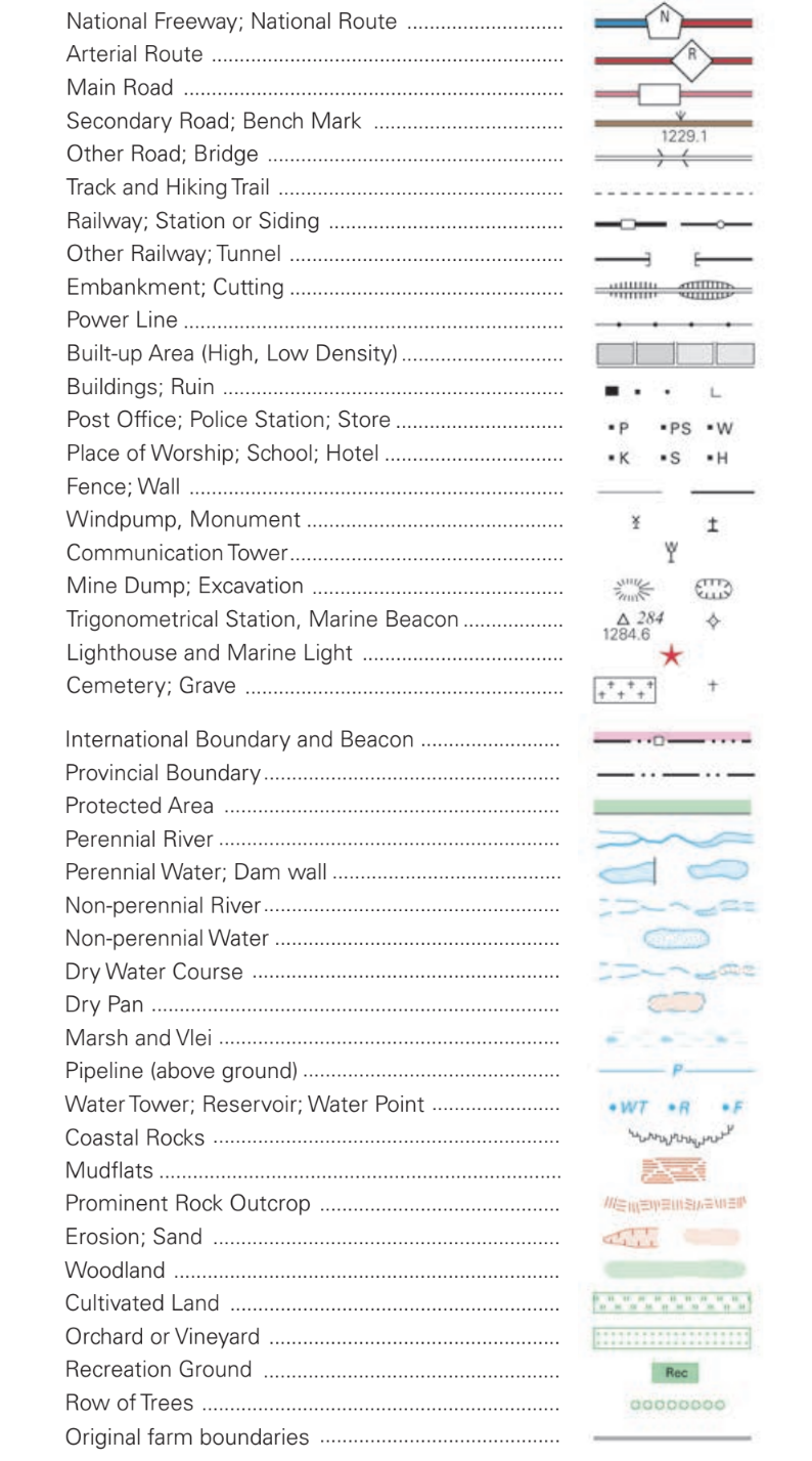
Maps show various types of transport infrastructure to help with route planning and navigation:
- Freeways: Major multi-lane highways for fast travel
- Main roads: Primary routes connecting major towns
- Secondary roads: Smaller tarred roads serving local areas
- Tracks: Unpaved dirt roads or paths
- Railways: Train lines with stations and sidings
- Bridges: Structures crossing rivers or valleys
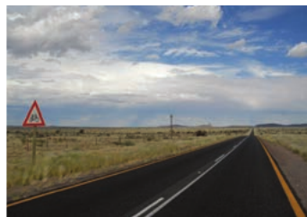
Water features
Water-related symbols are crucial for survival and resource planning:
- Rivers: Perennial (permanent) and non-perennial (seasonal) waterways
- Reservoirs and dams: Artificial water storage facilities
- Wells and boreholes: Sources of groundwater
- Coastal features: Beaches, rocky coastlines, lighthouses
Rivers are shown in different ways depending on whether they flow year-round (perennial) or only during certain seasons (non-perennial). This distinction is important for water resource planning.
Vegetation and land use
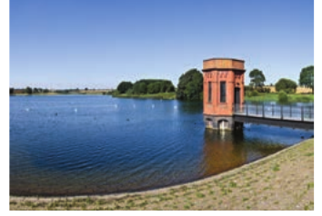
These symbols show how land is used and what natural resources are available:
- Cultivated land: Farmland with crops arranged in rows
- Orchards: Areas with fruit trees planted in organised patterns
- Woodland: Natural forest areas
- Grassland: Open grazing areas
- Marsh and wetland: Waterlogged areas with specific vegetation
Human settlements and structures
Symbols representing where people live and work help identify services and facilities:
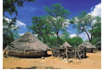
- Traditional huts: Rural homesteads with traditional architecture
- Modern buildings: Urban and suburban developments
- Industrial areas: Factories, mines, and processing facilities
- Recreation facilities: Parks, sports grounds, camping areas
Relief and geological features
These show the shape and geology of the land, important for understanding terrain:
- Rocky outcrops: Exposed rock formations
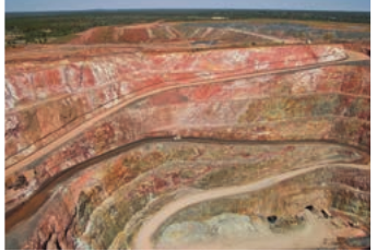
- Mine dumps: Waste rock piles from mining operations
- Excavations: Quarries and open-pit mines
- Erosion features: Areas where land has been worn away
Relief features help you understand the difficulty of terrain and potential hazards when planning routes or outdoor activities.
Communication and infrastructure
Modern infrastructure symbols include facilities that support communication and utilities:
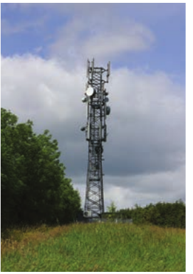
- Communication towers: Mobile phone and radio transmission masts
- Power lines: Electricity transmission cables
- Water towers: Elevated water storage tanks
- Trigonometrical stations: Survey points for accurate mapping
Reading conventional symbols in practice
Understanding conventional symbols provides you with essential map reading skills that enable effective navigation and geographical analysis.
Practical Applications of Symbol Knowledge
Understanding conventional symbols helps you:
- Plan routes and estimate travel times
- Identify available facilities and services
- Understand the physical geography of an area
- Locate water sources and shelter
- Assess land use and economic activities
The combination of symbols, colours, and their positions on the map tells the complete story of what exists in any geographical area, from natural features to human developments.
Key Points to Remember:
- Conventional symbols are standardised - they mean the same thing on all topographic maps
- Three main types exist: point symbols (specific locations), line symbols (routes and boundaries), area symbols (regions covering space)
- Colour coding matters: blue for water, green for vegetation, brown for relief, grey/red/black for human features
- Symbols represent real features - every symbol on a map corresponds to something that actually exists in the landscape
- Learning symbols improves map reading - the more symbols you recognise, the better you can interpret and navigate using topographic maps