Management of Tropical Storms - Reducing the Effects (OCR GCSE Geography A (Geographical Themes)): Revision Notes
📚 Revision Notes
1.3.4 Management of Tropical Storms - Reducing the Effects
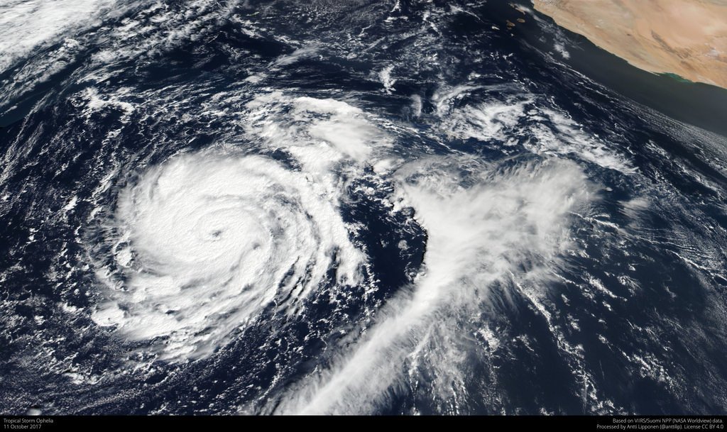
Tropical Storm tracked by satellite
Monitor
- Using technology to identify the formation of tropical storms and track their paths and strengths.
- Satellites monitor the cloud pattern and can detect as the winds become more organised, into a spiral pattern and the eye develops.
Prediction
- Scientists use computer models that use data from satellites to calculate a path for the storm.
- Scientists use radar and aircraft to help monitor and predict the path of storms. Predicting the path gives people time to evacuate and board up homes.
Planning
- Future developments, e.g., new houses, can be planned to avoid the areas at most risk.
- Emergency services can train and prepare for disasters, e.g., practising how to rescue people from flooded areas with helicopters.
- Governments can plan evacuation routes to get people away from storms quickly. Actions taken before a hazard strikes to reduce its impact, such as educating people in evacuation plans, can reduce deaths.
- Families are encouraged to plan what they need to do and have in the event of a tropical storm: Disaster supply bag, fuel in vehicles, know where evacuation shelters are, storing loose objects.
Protection
-
Build hurricane-proof homes and installing storm shutters on houses, e.g., in Florida.
-
Sea walls can be built to protect key infrastructure from storm surges and storm drains can be designed to take away heavy rainfall.
-
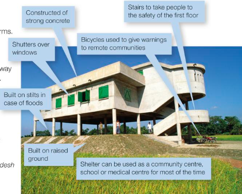
Tropical cyclone shelters in Bangladesh have helped reduce the death toll from 500,000 deaths in 1970 to 4234 in 2007.
-
Houses built on stilts to allow storm surge to pass underneath.
-
Salt marsh, wetlands, and mangroves replanted provide natural protection from storm surges. (These ecosystems are often destroyed to make way for agriculture and building development).